
How to read a tide chart
How to read a NOAA tide table: what the heights mean, how spring and neap tides differ, and why slack water is often not the same minute as high tide.
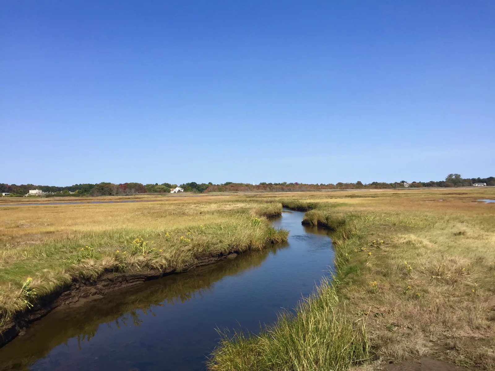
What a tide is
I open a tide table before I fish, on Tampa Bay and on any other coast. NOAA describes tides as very long ocean waves. What you see from shore is the water rising and falling.
Most tides are semidiurnal. That is two highs and two lows in a day. They usually switch about every six hours. NOAA says that spacing does not always hold.
The pattern is not the same on every coast. NOAA says some places on the U.S. Gulf Coast shift, through the month or the year, between a diurnal tide and a mixed semidiurnal tide. Diurnal means one high a day. Mixed semidiurnal means two highs of different heights. A semidiurnal tide has two highs of about the same height. Open the station you will fish. That table shows the pattern there.
Spring tides and neap tides
NOAA's tide FAQ says the Earth, Moon, and Sun line up at the new moon and the full moon. The combined pull makes a larger than average range. Those are spring tides. The highs run higher. The lows run lower.
When the Sun and Moon pull against each other, around a half moon, the range is smaller. NOAA calls those neap tides. Neap tides have the smallest difference between high and low water.
King tides
Between six and eight times a year, a new or full moon lands while the Moon is closest to Earth. NOAA calls that a perigean spring tide. NOAA notes that popular accounts call the same event a king tide. It says those highs commonly run more than a foot above the highs of a spring tide when the Moon is farthest away.
NOAA says high tide flooding along U.S. coasts generally starts when the water gets more than 1.5 feet above mean higher high water. In most coastal places, a perigean spring tide reaches that flooding only if wind or current piles more water on top. The tide table does not add the wind.
How to read the heights
NOAA's Tide Predictions page builds a table for one station. The user guide says the default plot is the present day and the next day, in local time with daylight saving applied. The heights are in feet relative to mean lower low water.
Mean lower low water is the average of the lower low water of each tidal day, over the National Tidal Datum Epoch. Zero on that plot is the line. A larger height is more water above it.
Read the time and the height of each high and each low. The range is the difference between them. A spring day shows a bigger difference than a neap day at the same station. That difference is how much the water will cover and uncover. NOAA's table gives those times and heights. It does not name a bite.
Flood, ebb, and slack
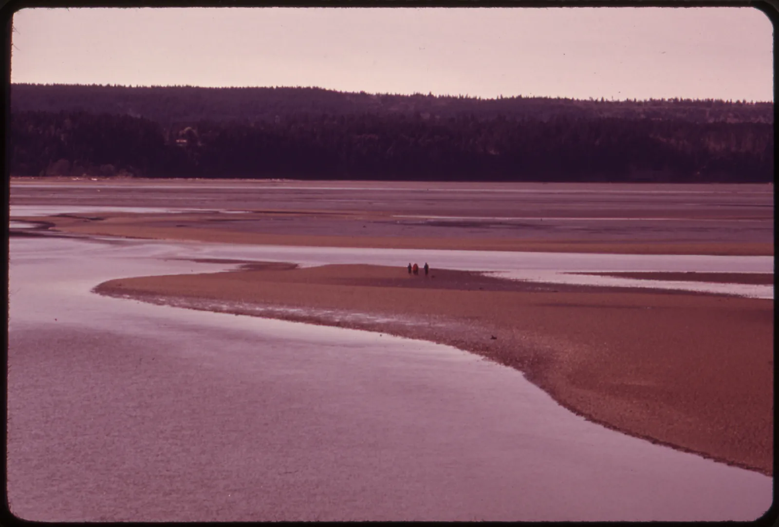
The rise and fall is the tide. The sideways flow is the tidal current. NOAA's FAQ says a flood current runs from the ocean into bays, harbors, and estuaries as the tide rises. An ebb current runs back toward the ocean as the tide falls. Slack water is the time with little or no sideways flow.
A common shortcut puts slack at the same minute as high tide and low tide. NOAA says that shortcut fails at most places. Near the inland head of a large bay, slack can fall close to high and low, with the strongest flow in between. At an ocean entrance, the strongest flow can fall near high and low, with slack in between. In a few cuts, including some stretches between barrier islands, the current follows the height difference between the two sides. Most spots land somewhere in between. The timing belongs to that place.
Tide predictions and current predictions are separate products. The current table lists the time and speed of the flood, the ebb, and slack. NOAA says current tables can be made for more than 2,500 places. If you need moving water, open the current prediction stations for that spot, not only the high and low times.
When the water does not match the table
NOAA predicts the astronomical tide, the part from the Moon and the Sun. The FAQ says the prediction leaves out wind, rain, freshwater runoff, and other short weather. The user guide says it also leaves out storm surge.
Stations on the outer coast are generally more accurate than stations up a river or deep in an estuary. NOAA's inland example is Baltimore, at the north end of Chesapeake Bay. Wind along that bay has put the water 1 to 2 feet above or below the predicted tide.
Shallow water and a small range are easy for weather to cover up. NOAA points to Galveston, Texas, in a shallow bay with a small opening to the sea. There, weather can hide the astronomical tide. It can also move the predicted high or low by an hour or more. When the wind is up, believe the water in front of you.
Use the station at the spot. A prediction is for one place. A station across the bay, or up the river, is a different table.
Which station to open
NOAA publishes tide predictions for more than 3,000 places along the U.S. coast. Open the station at the ramp, the flat, or the inlet you will fish. Tide Predictions is the page. NOAA says to check that local table before a day on the coast.
Before you leave
Read the next high, the next low, and both heights before you commit to a shallow flat. The FAQ is why the printed minute can still be wrong once the wind gets up.
A long wait on an open flat or marsh is a sun day on any coast. The catalog lists the But First We Fish Men's Sun Shirt as a long-sleeve UPF 50+ shirt. It is in sun gear. Check the rating and the size chart on that listing.
If you wade Tampa Bay, the wade fishing guide names two stations on that bay and how to cross a flat. This page is how to read the table. That page is one place to use it.
Sources
The tide facts in this guide come from these NOAA pages.
Tides overview · Tides and Currents FAQ · Tide predictions · Tide predictions user guide · Tidal datums · Current prediction stations
What to wear
Long sleeves, sun hoods and Florida art, printed to order in UPF 50+.
But First We Fish sun shirtFAQ
These answers cover the choices and advice discussed above.